
Coastal protection and resilience are increasingly important challenges for seaside communities and developments, in a scenario of climate change and sea level rise. To meet these demands, CoastalPort develops coastal engineering studies and designs, bringing extensive knowledge and experience from successful projects all over the American continent.

01

Oceanography and coastal hydrodynamics

  • Wave, current and tide studies
  • Assessment of mean and extreme regimes
  • Analysis of metocean monitoring data
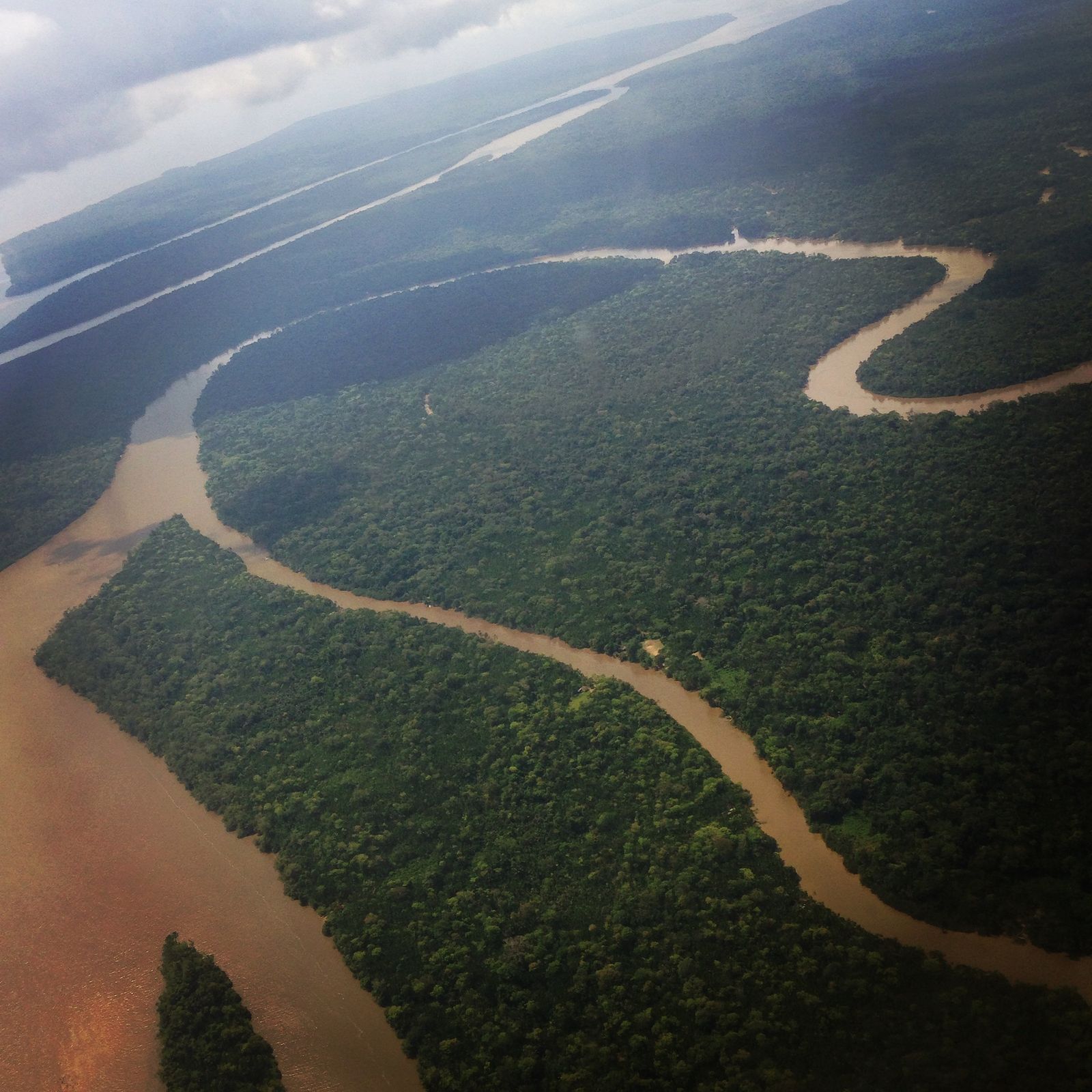
  • River and estuarine dynamics studies
  • Definition of design parameters for engineering works
02

Sediment transport and sediment budget

  • Cohesive and non-cohesive sediment transport analyses
  • Sediment budget studies
  • Shoreline change analyses
  • Studies of erosion processes
  • Assessment of siltation in navigable waterways
03

Marine geology

  • Desktop studies for marine geological characterization
  • Offshore borrow area search studies
  • Geophysical data and stratigraphy analyses
  • Soil stability and geohazard studies
  • Assessment of fluid mud zones
04

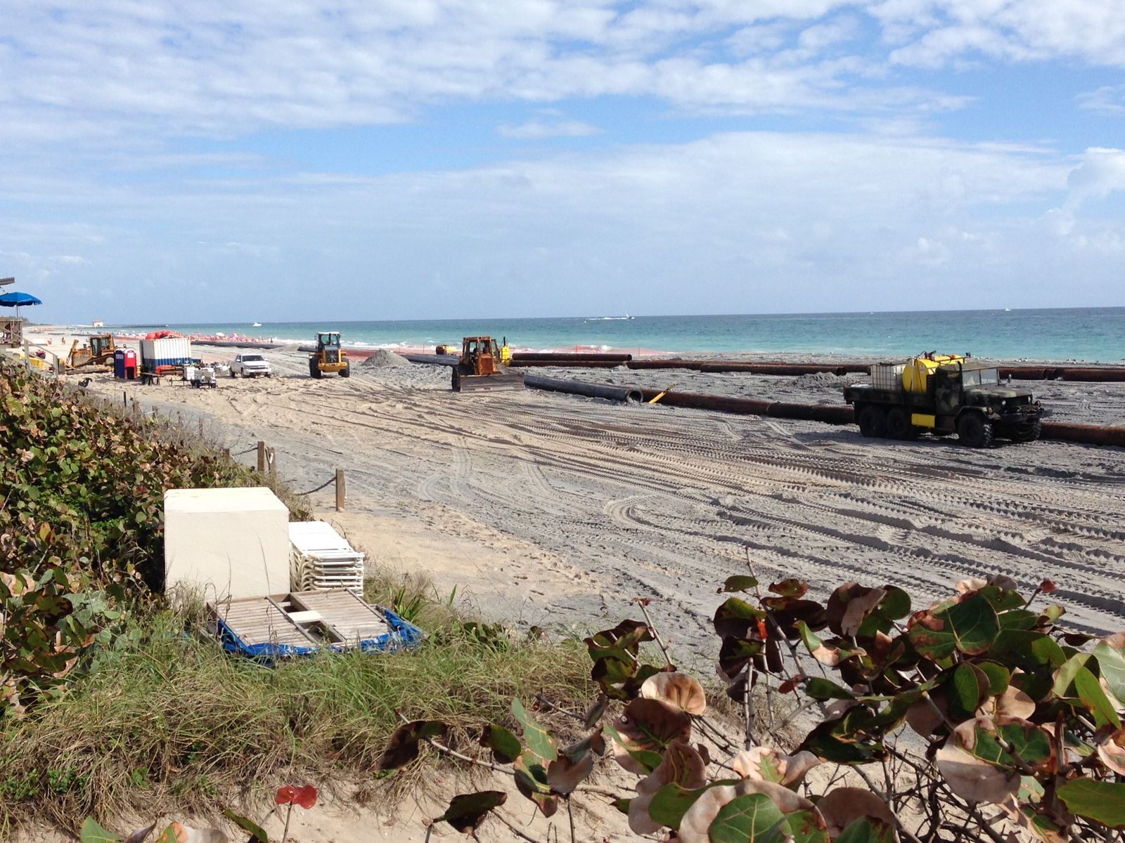
Beach nourishment and hydraulic fill

  • Design of beach nourishment and hydraulic fill works
  • Cut and fill volume calculations
  • Layout studies for shoreline stabilization
  • Analysis of equilibrium beach planform and profile
  • Works supervision and management
05

Breakwaters, groynes and jetties

  • Design of breakwaters and rock revetments
  • Design of jetties and training walls for channel stabilization
  • Sizing of rock and precast armour units
  • Wave overtopping analysis
  • Slope stability assessment
Experience

Related projects

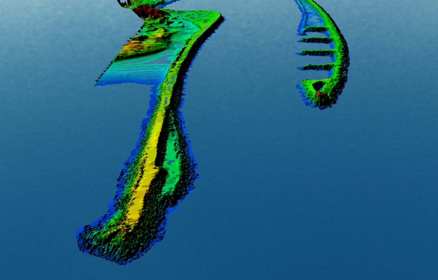
Studies for the rehabilitation of inlet jetties

Multibeam and topographic surveys with a 3D model of the structures, wave and current measurements, shallow seismics and numerical modeling to support the design of the jetty rehabilitation and channel dredging and rock removal.
Wave and current measurements with ADCP

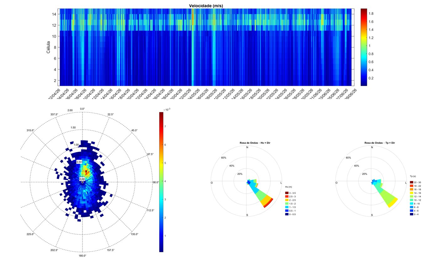
Deployment of acoustic profilers (ADCP) to measure currents through the water column, waves and water level. Processing with quality control, vertical profiles, roses and directional spectra, and use of the data to calibrate the numerical models.

Geophysical and geotechnical surveys

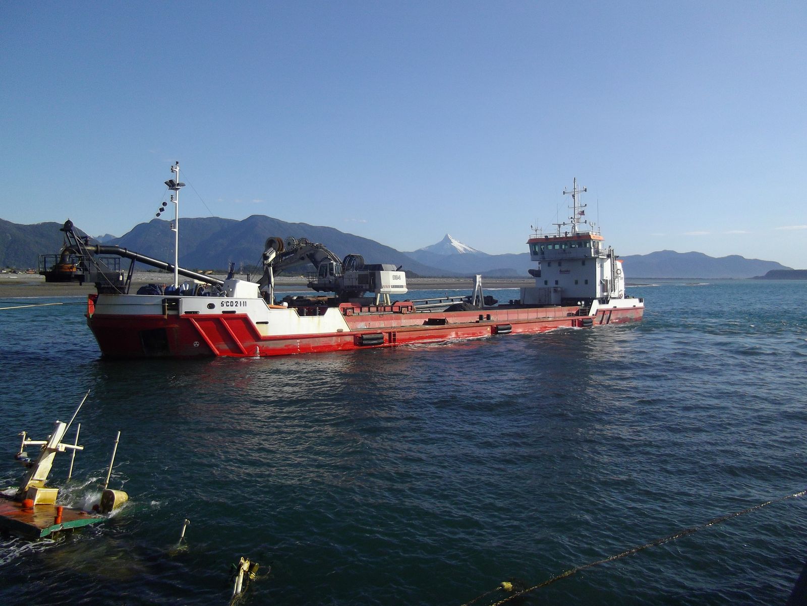
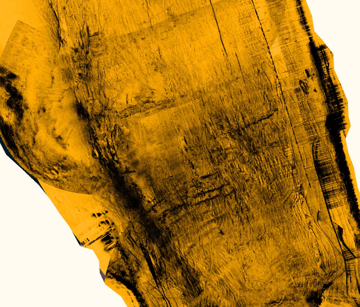
Bathymetric surveys, shallow seismics, side-scan sonar and boreholes to support dredging and rock removal designs. Over 1 million m³ in dredging designs and supervision.

See our experience

Shall we talk about your project?

Tell us about your challenge and we will find the most suitable solution.

Get in touch