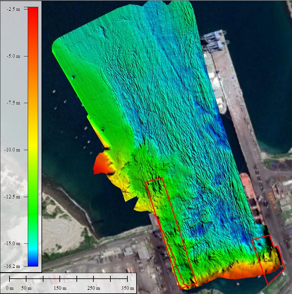
Multibeam and single-beam bathymetry
Hydrographic surveys with multibeam and single-beam echosounders, inertial systems and RTK positioning, with patch-test calibration and processing to maritime authority standards.
Ship manoeuvring simulator developed by BMT, certified by DNV and aligned with International Maritime Organization (IMO) standards. It combines high-fidelity mathematical models of the vessels, electronic navigational charts and a 3D scene with wind, waves and currents. Being modular and portable, we take it to the client to run simulations anywhere.
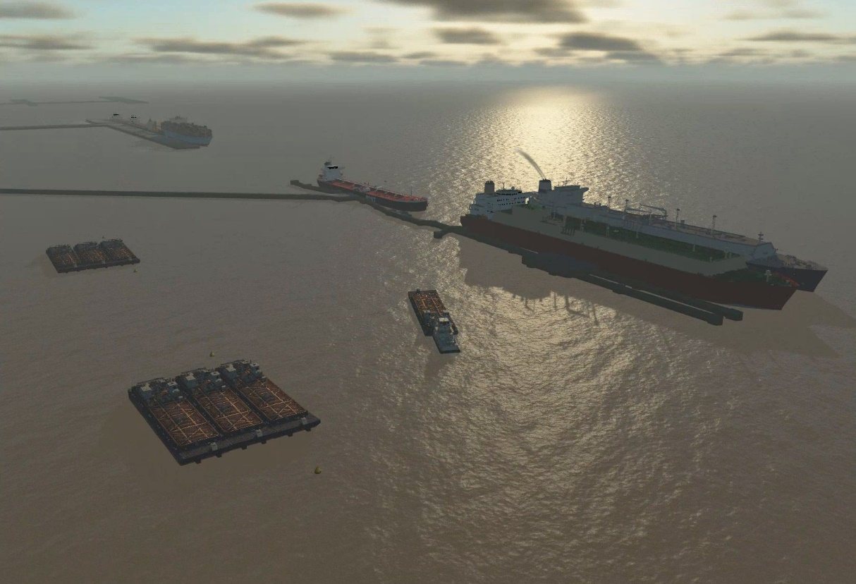
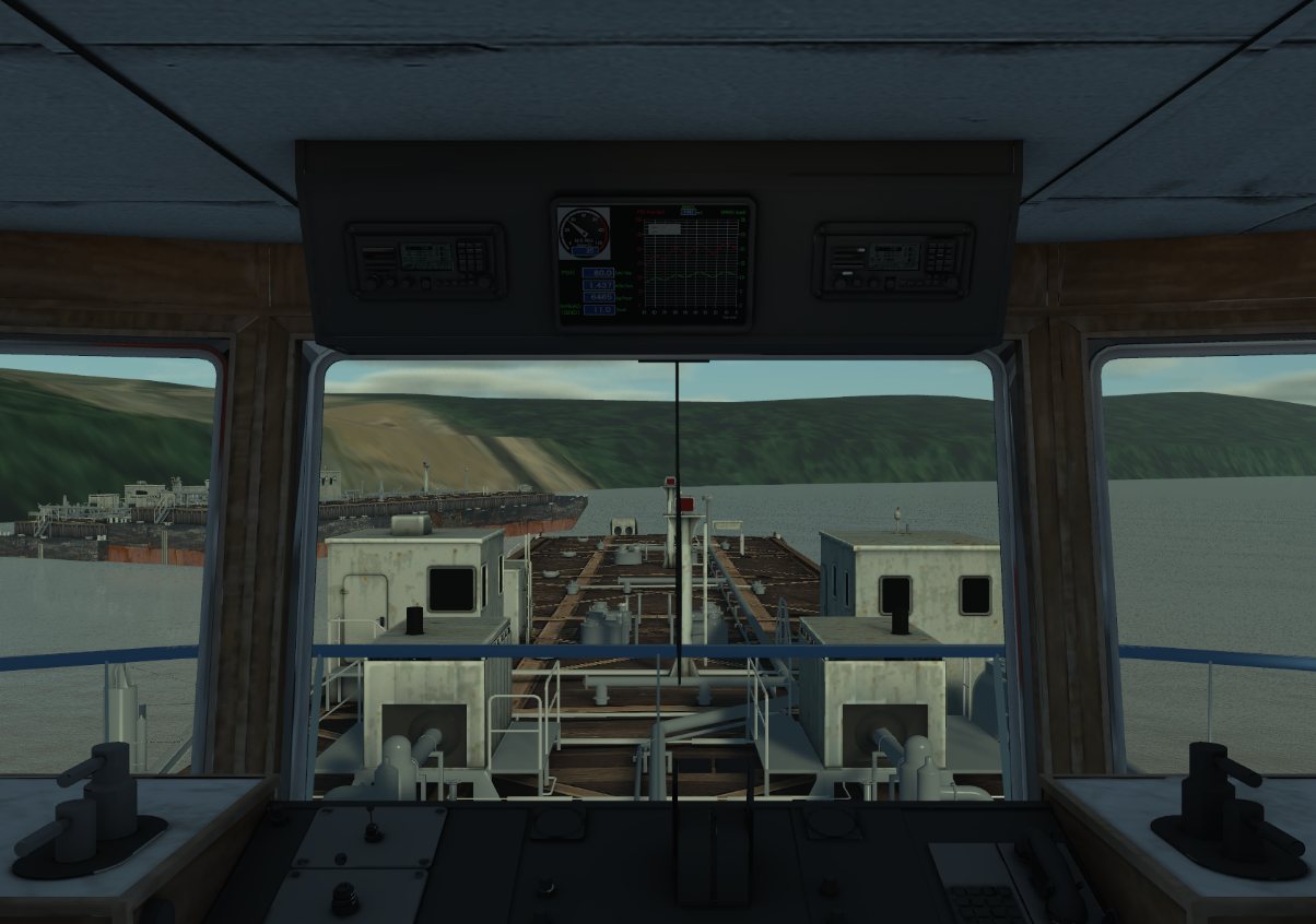
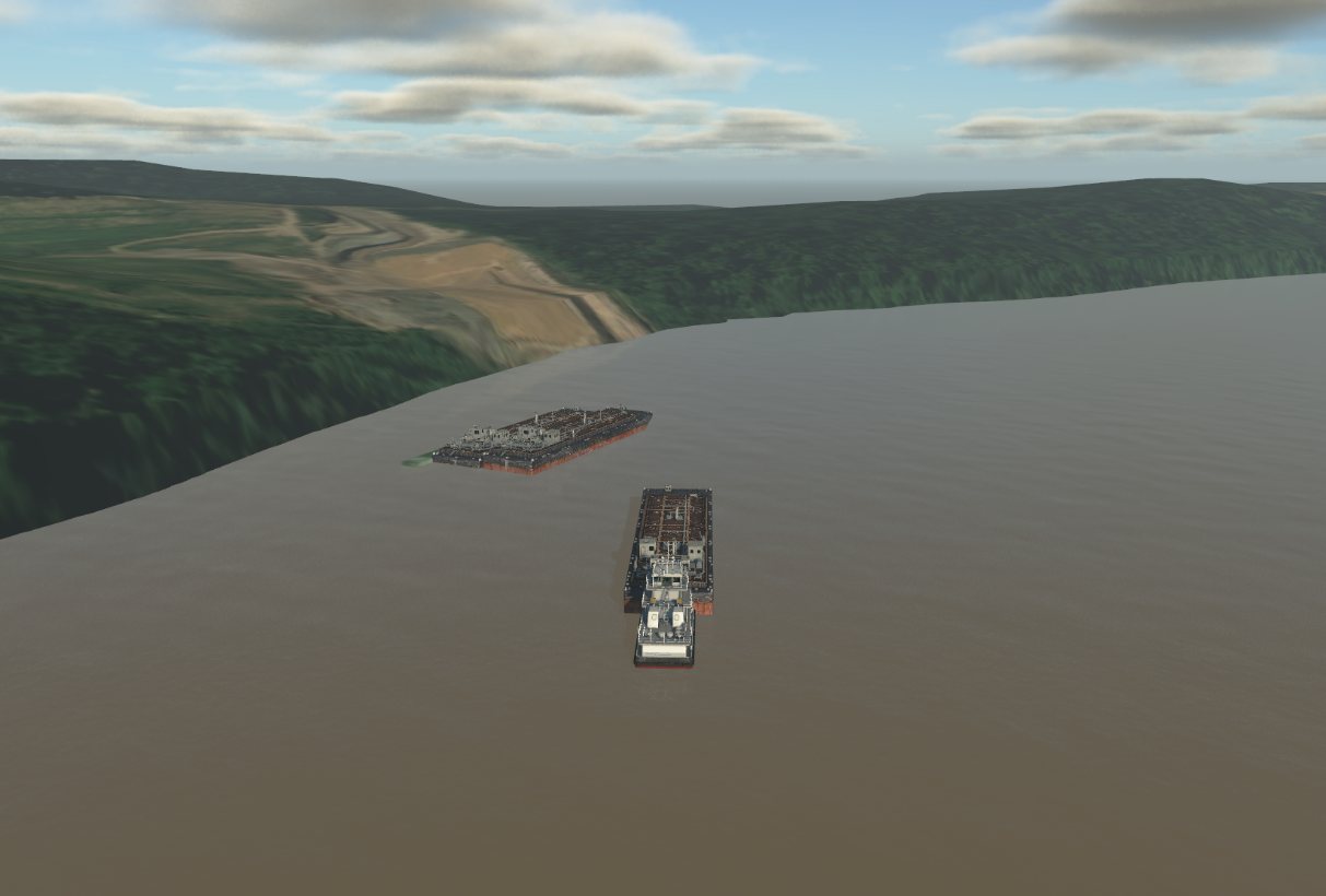
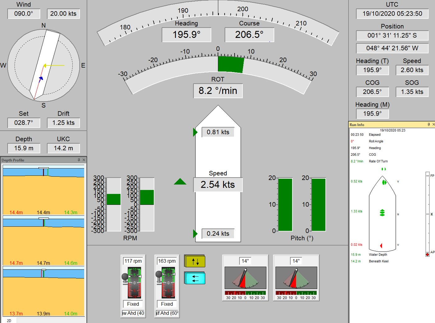
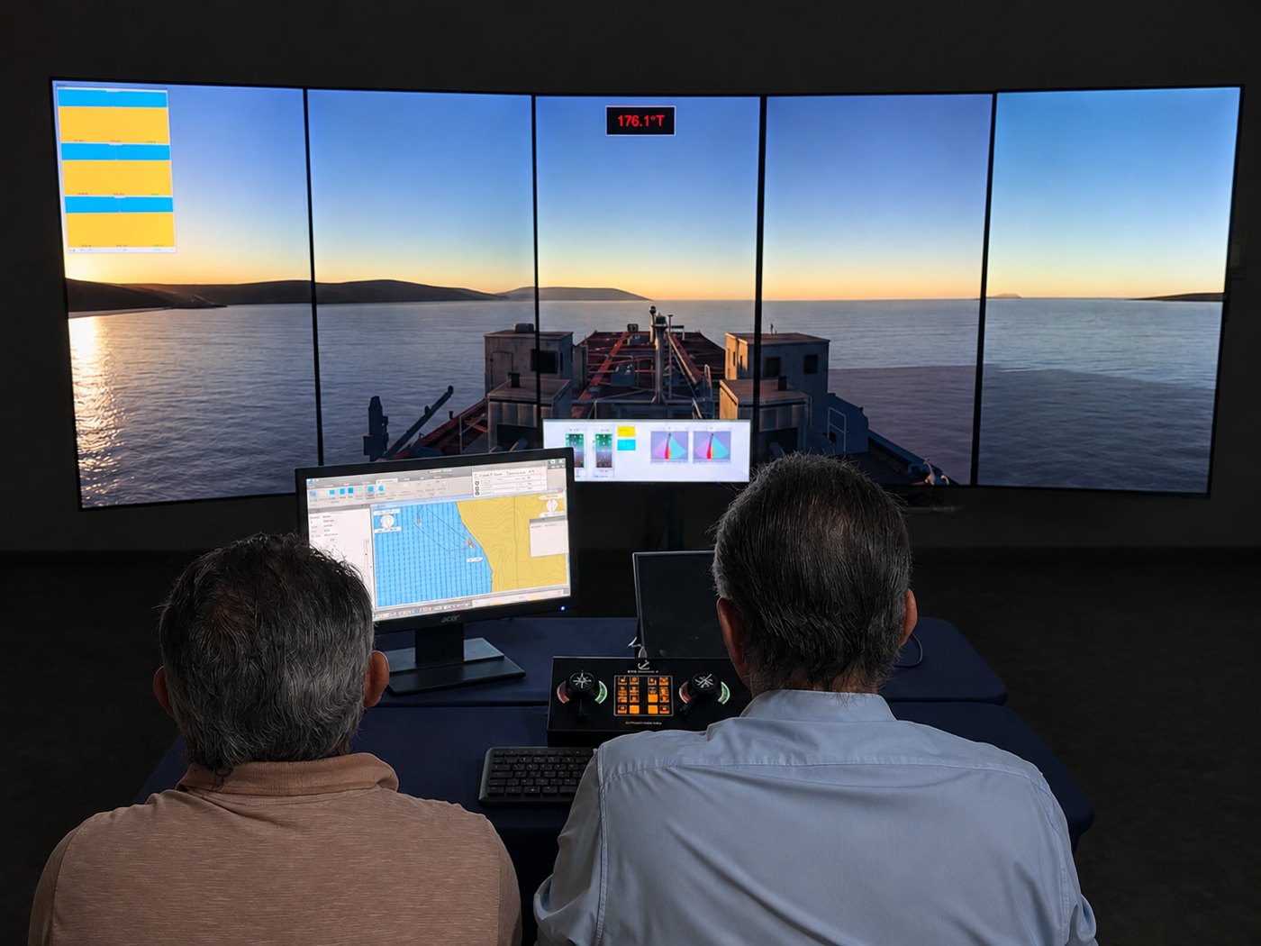
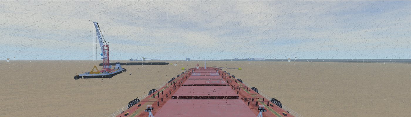
Real-time simulations are conducted by Captain Valdecilio Pinheiro, a retired Captain of the Brazilian Navy, who acts as helmsman and tug master. See examples of studies with simulation.
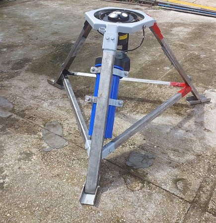
High-resolution acoustic profiler that measures, in the same campaign, currents throughout the water column, directional waves and water level. We use the data for metocean characterization and for calibrating and validating our numerical models.
Processing is carried out by our team, with quality control of tilt, correlation and signal-to-noise ratio, spike filtering, harmonic tidal analysis and wave spectra.
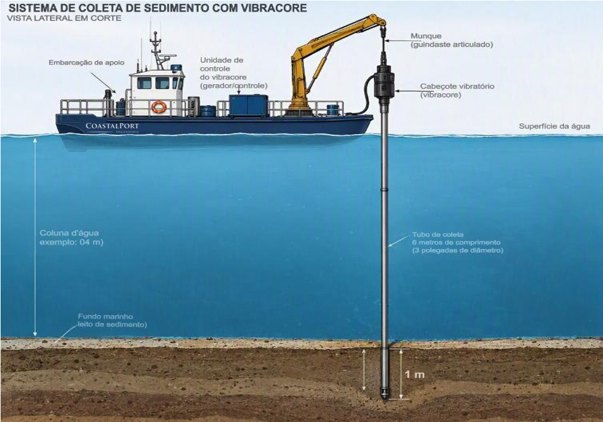
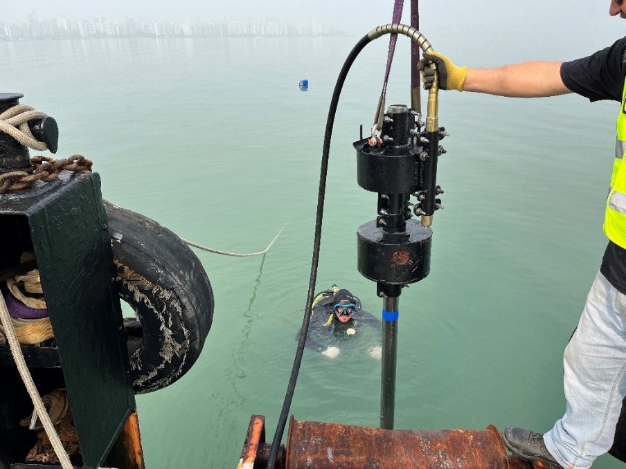
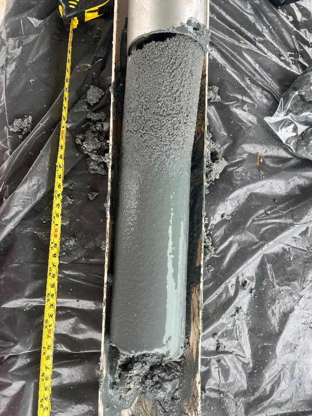
Vibration-driven coring system that retrieves continuous, undisturbed cores from the bed to reveal the sediment layers below the surface.
Applications: characterization of dredged material under Brazilian CONAMA Resolution 454/2012, prospecting of sand borrow areas for beach nourishment, and stratigraphy for dredging and marine works projects.
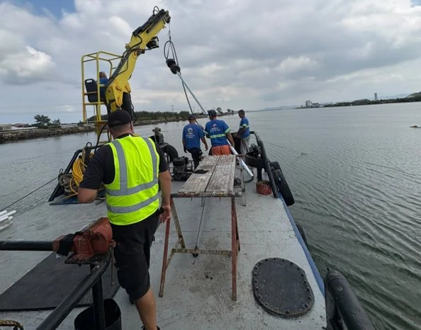
For surveys that require dedicated equipment, we work with partner companies. CoastalPort specifies, plans, coordinates and supervises the campaigns and processes and interprets the data, integrating it into studies and designs.
Hydrographic surveys with multibeam and single-beam echosounders, inertial systems and RTK positioning, with patch-test calibration and processing to maritime authority standards.
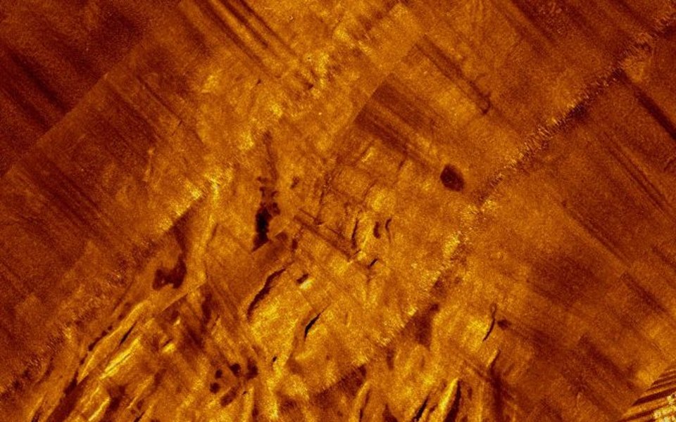
Seabed mosaics to identify rock outcrops, structures, cables, obstructions and sediment transport features.
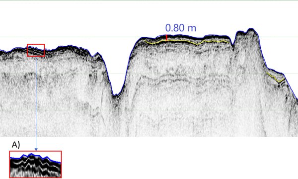
Sub-bottom profiling to map reflectors, sediment thickness and top of rock in dredging and rock removal areas.
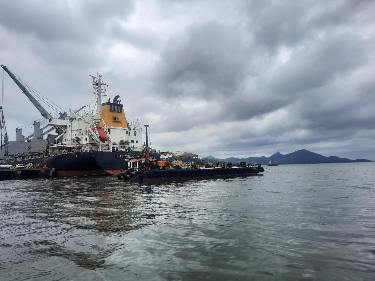
Combined SPT and rotary drilling over water, from floating platforms, for the foundations of marine structures.
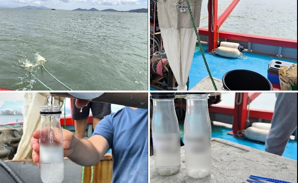
Surface and subsurface sampling, with chain of custody and analyses in accredited laboratories.
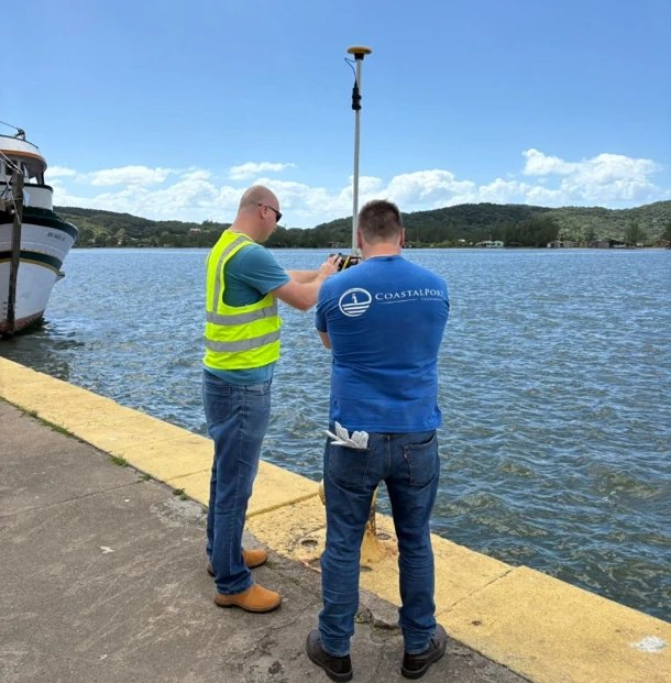
Topographic and drone surveys for 3D models and digital terrain models of beaches and coastal structures, integrated with the bathymetry.
Tools developed by our team: operational forecasting with CoastalWatch, embayed beach analysis with BayShape CPE and bathymetry conversion with XYZ2DXF.