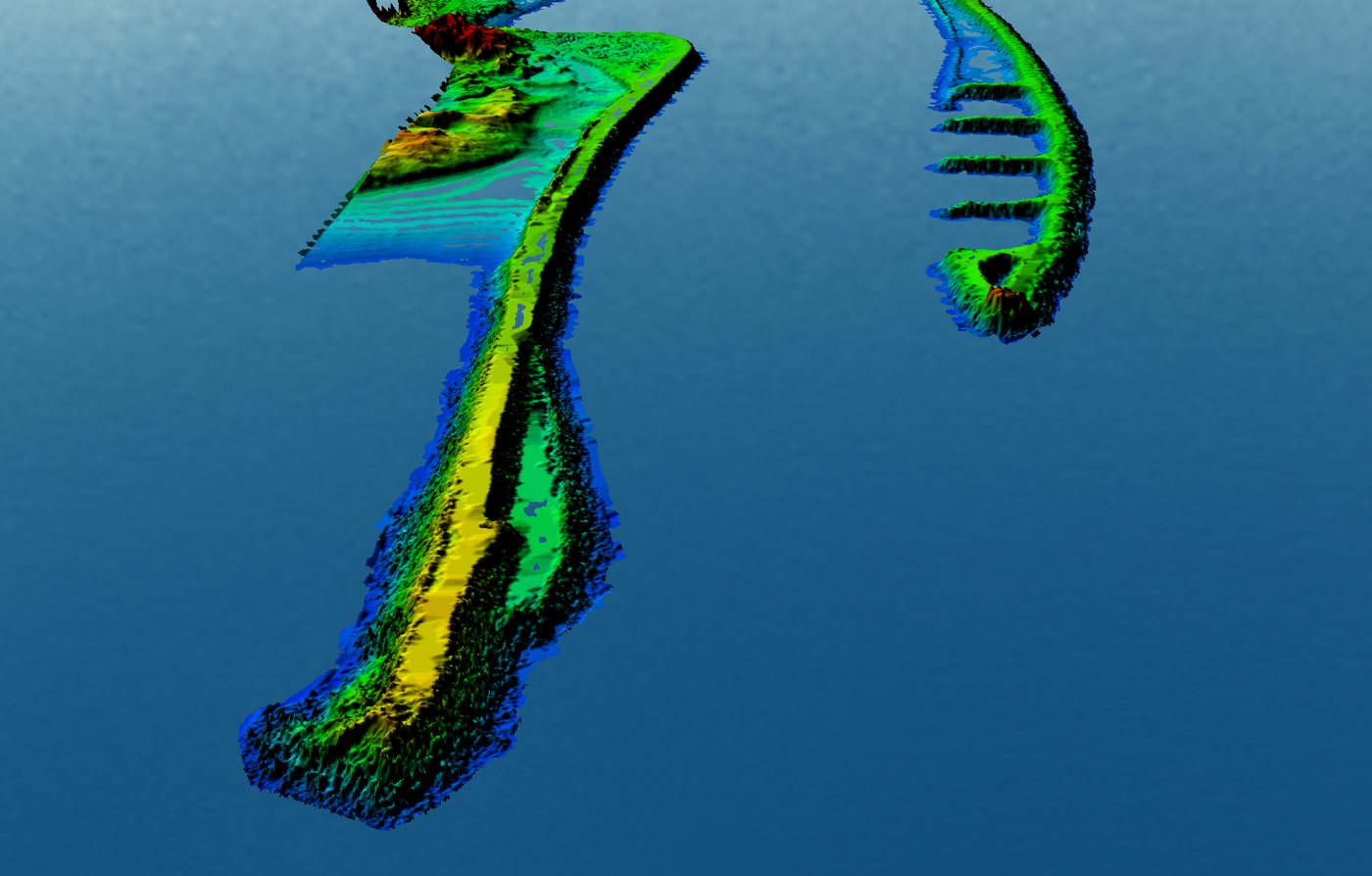
Studies for the rehabilitation of inlet jetties

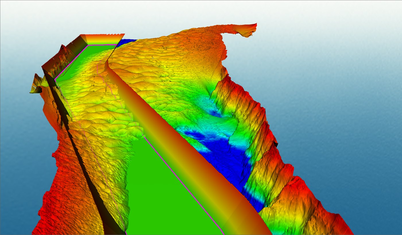
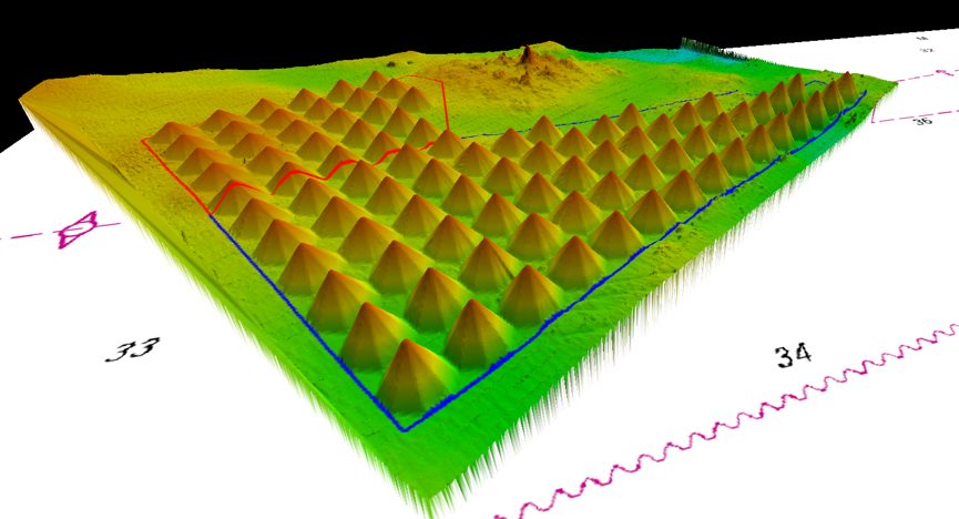
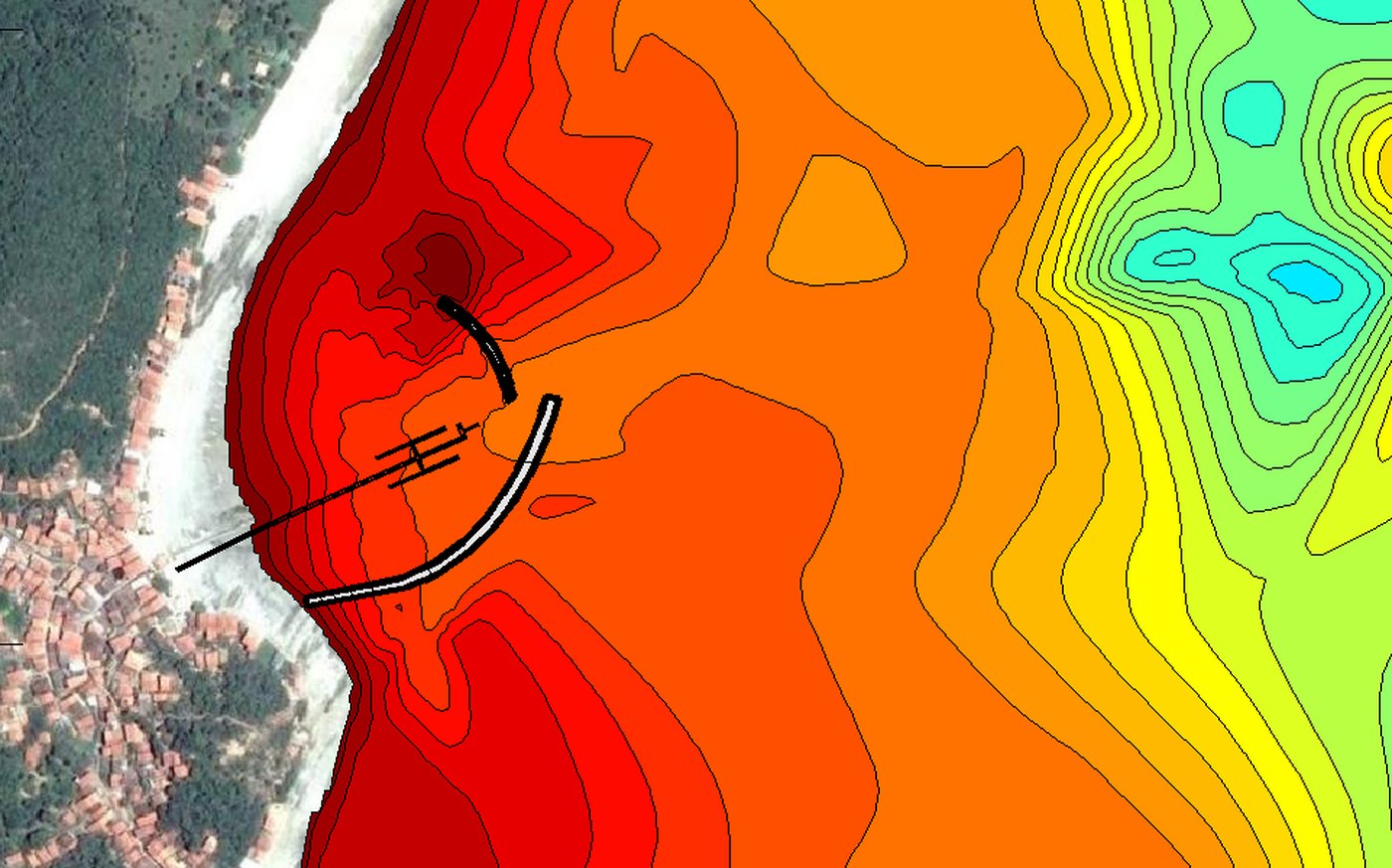
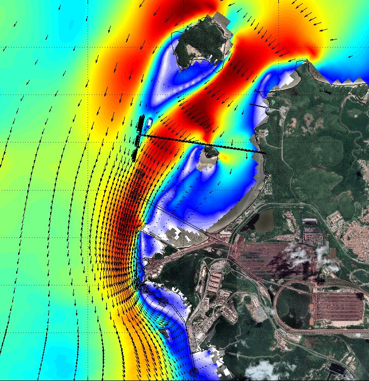
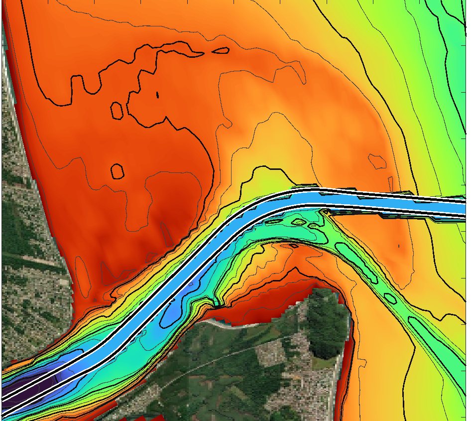
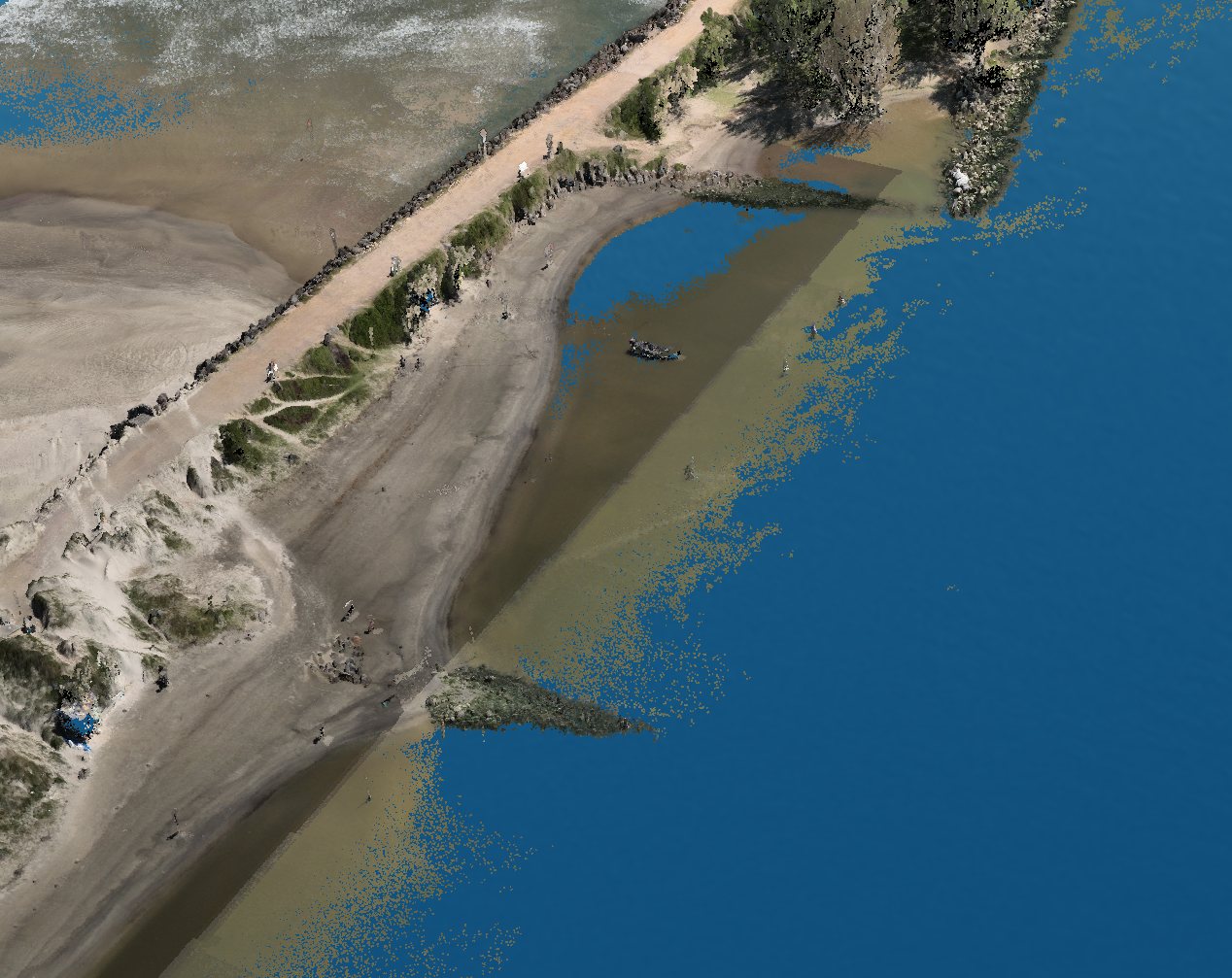
Multibeam and topographic surveys with a 3D model of the structures, wave and current measurements, shallow seismics and numerical modeling to support the design of the jetty rehabilitation and channel dredging and rock removal.
Technical support for dredging works

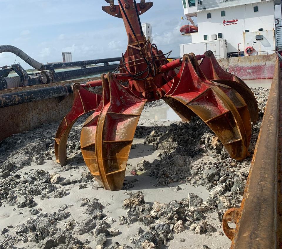
Analysis of dredger accessibility to the dredging areas, assessment of the execution method and technical follow-up of the works at a port terminal.
Real-time ship manoeuvring simulations

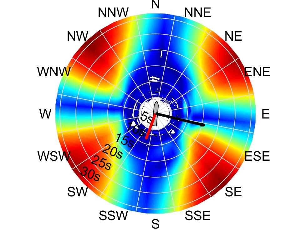
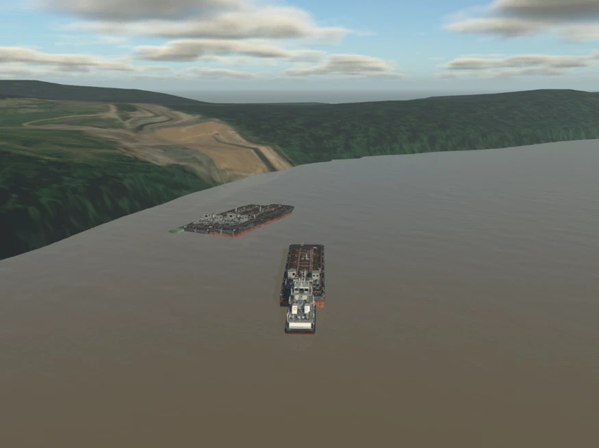
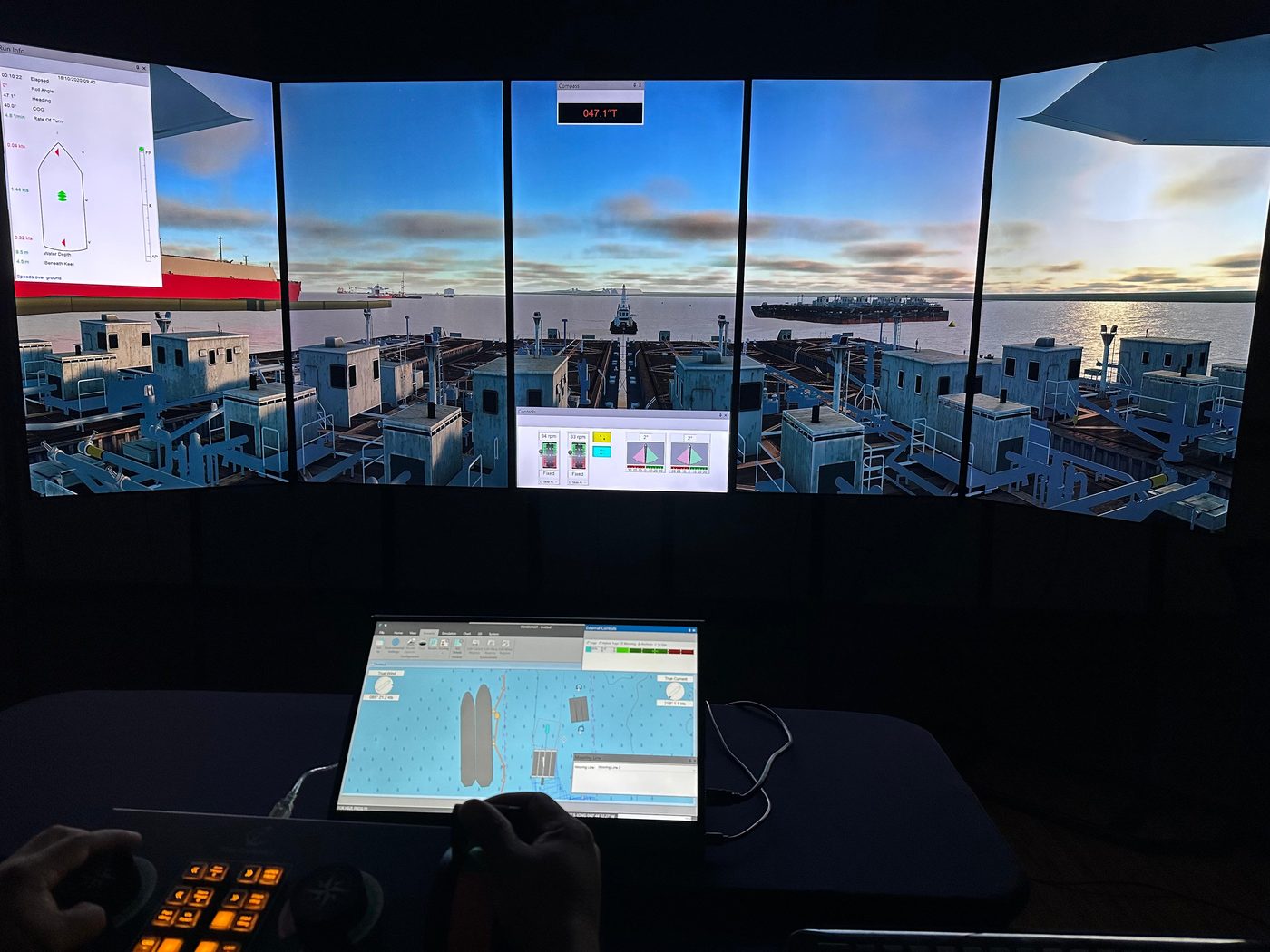
Manoeuvring simulations of ships, barges and convoys in a bridge simulator, with manoeuvring workshops, to assess layouts, operational limits and tug requirements.

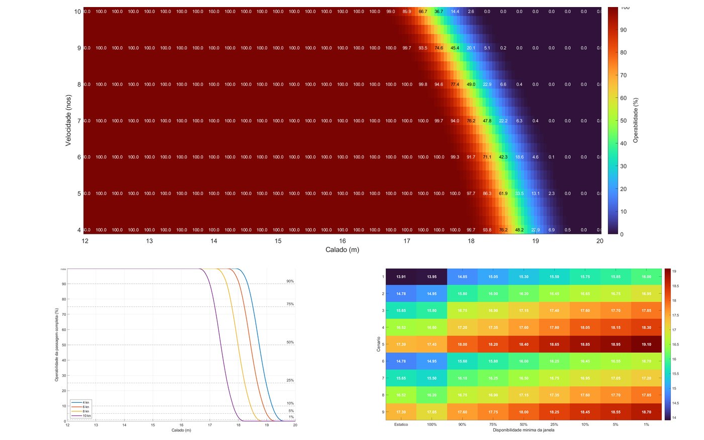
Dynamic under-keel clearance (UKC) analysis

Calculation of the dynamic UKC of the access channel for each draught and speed, combining tide, waves, squat and ship response, in place of the static rule. The outcome is the feasible draughts and tidal windows for each condition, the gain in operability and the comparison between channel alignment alternatives, with the sedimentation predicted by morphodynamic modeling.

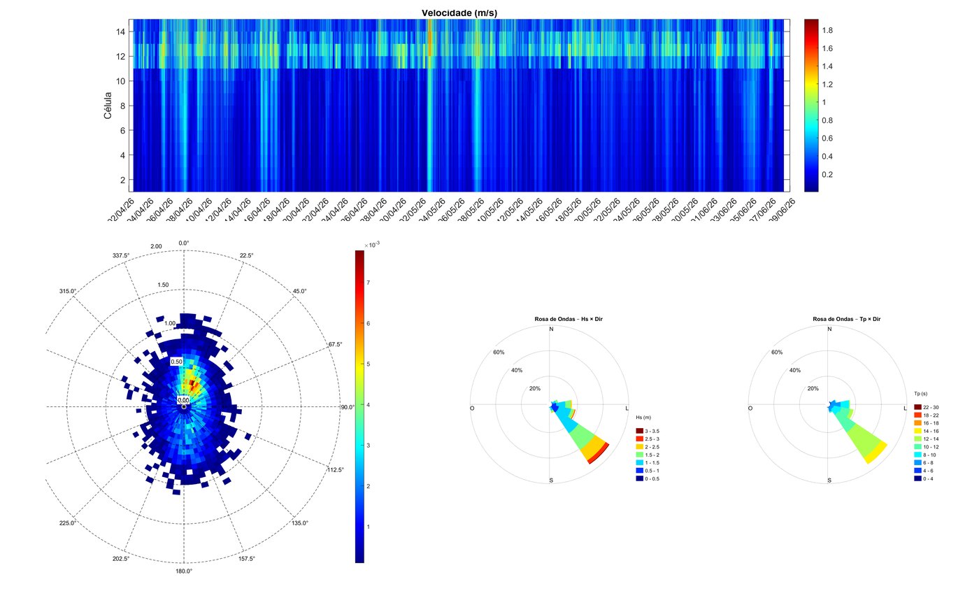
Wave and current measurements with ADCP

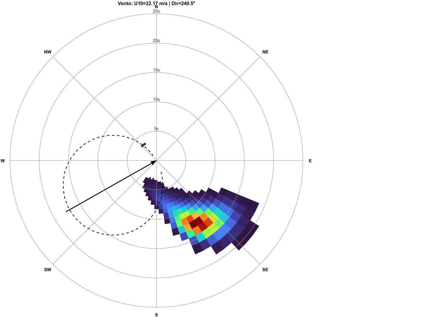
Deployment of acoustic profilers (ADCP) to measure currents through the water column, waves and water level. Processing with quality control, vertical profiles, roses and directional spectra, and use of the data to calibrate the numerical models.

Supervision of dredging works

Supervision of the maintenance dredging of a navigation channel: technical specification and support for contracting, pre-, intermediate and post-dredging bathymetric surveys, 3D models of the bed compared with the channel design, control of volumes, tolerances and disposal areas, and monitoring of sedimentation after the works.

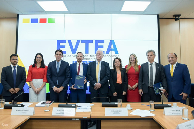
Feasibility study (EVTEA) for the concession of the Barra Norte channel, Amazon River

Technical, economic and environmental feasibility study prepared in 2023 for ATP and donated to the Brazilian Federal Government: demand study and characterisation of navigation on the Amazon River, requirements and scope of the concessionaire for managing the access channel, CAPEX and OPEX estimates, and analysis of tariffs and concession models.

Trade-off of alternatives for a barge terminal

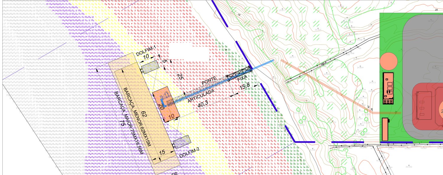
Comparison of berth alternatives for a river terminal: arrangements with a pontoon barge, dolphins and an articulated bridge, mooring studies, berthing energy and fenders, hydrology, current modeling and CAPEX estimate.

Port terminal expansion project

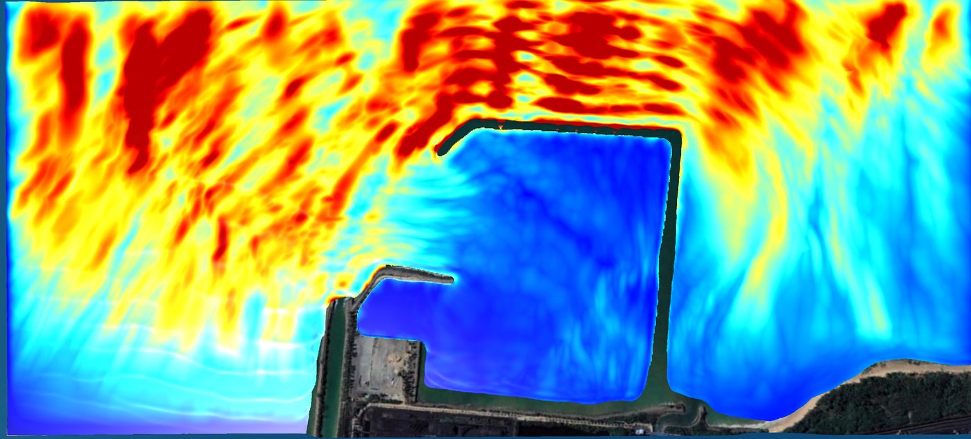
Study of engineering alternatives, modeling of waves, harbour agitation and downtime, manoeuvring and mooring studies, dynamic operational simulations and basic engineering design.

Design of a new dredged material disposal area

Assessment of operational and environmental requirements and limits, capacity calculation, modeling of dredging plumes and seabed feature evolution, and a management plan for the area.

Port engineering framework contract

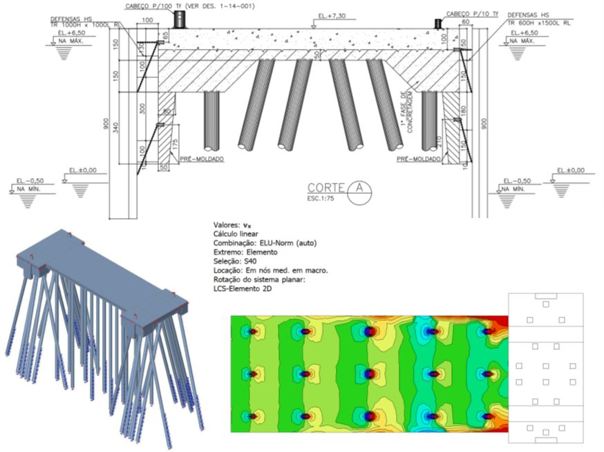
Ongoing development of port studies and designs: berthing and mooring structures, anchoring systems, manoeuvring studies, numerical modeling and documentation for the maritime authority.

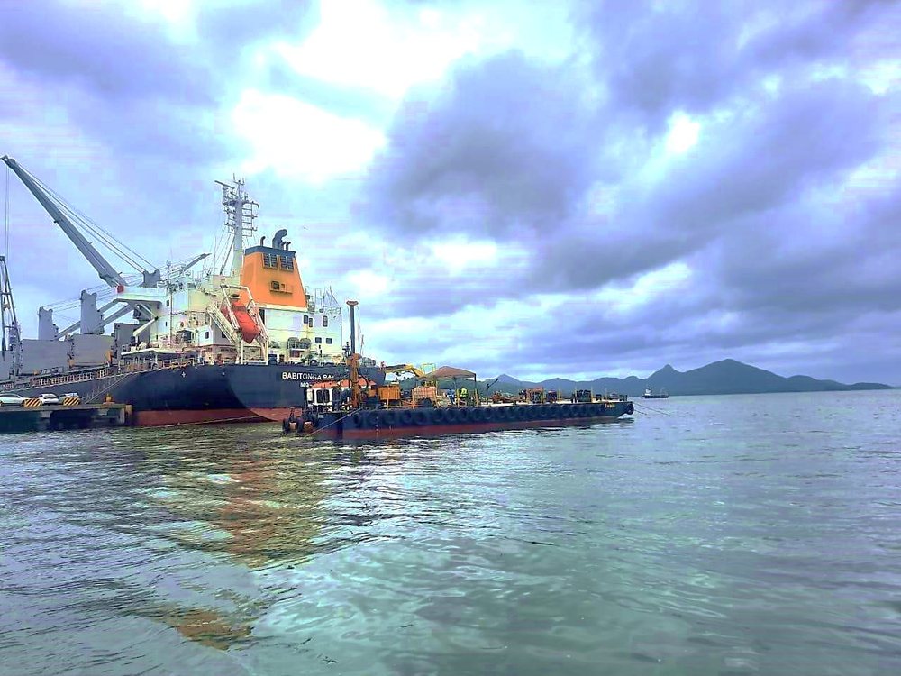
Transhipment operation study

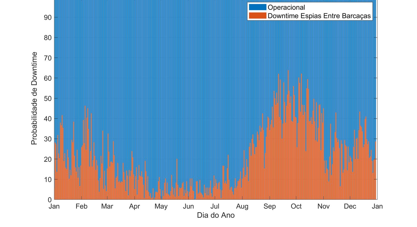
Design of a bulk transhipment operation between ships and barges: site selection, hydrodynamic and wave modeling, anchoring system, downtime analysis and documentation for the maritime authority.

Dynamic ship-to-ship mooring

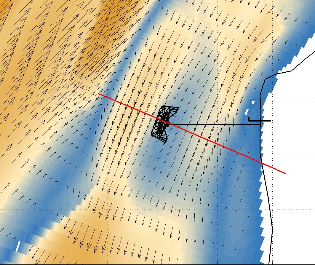
Dynamic mooring studies of ships, barges and a floating crane under waves, wind and currents, analysing line loads, relative motions and operational limits.

Risk analysis study and safety cards

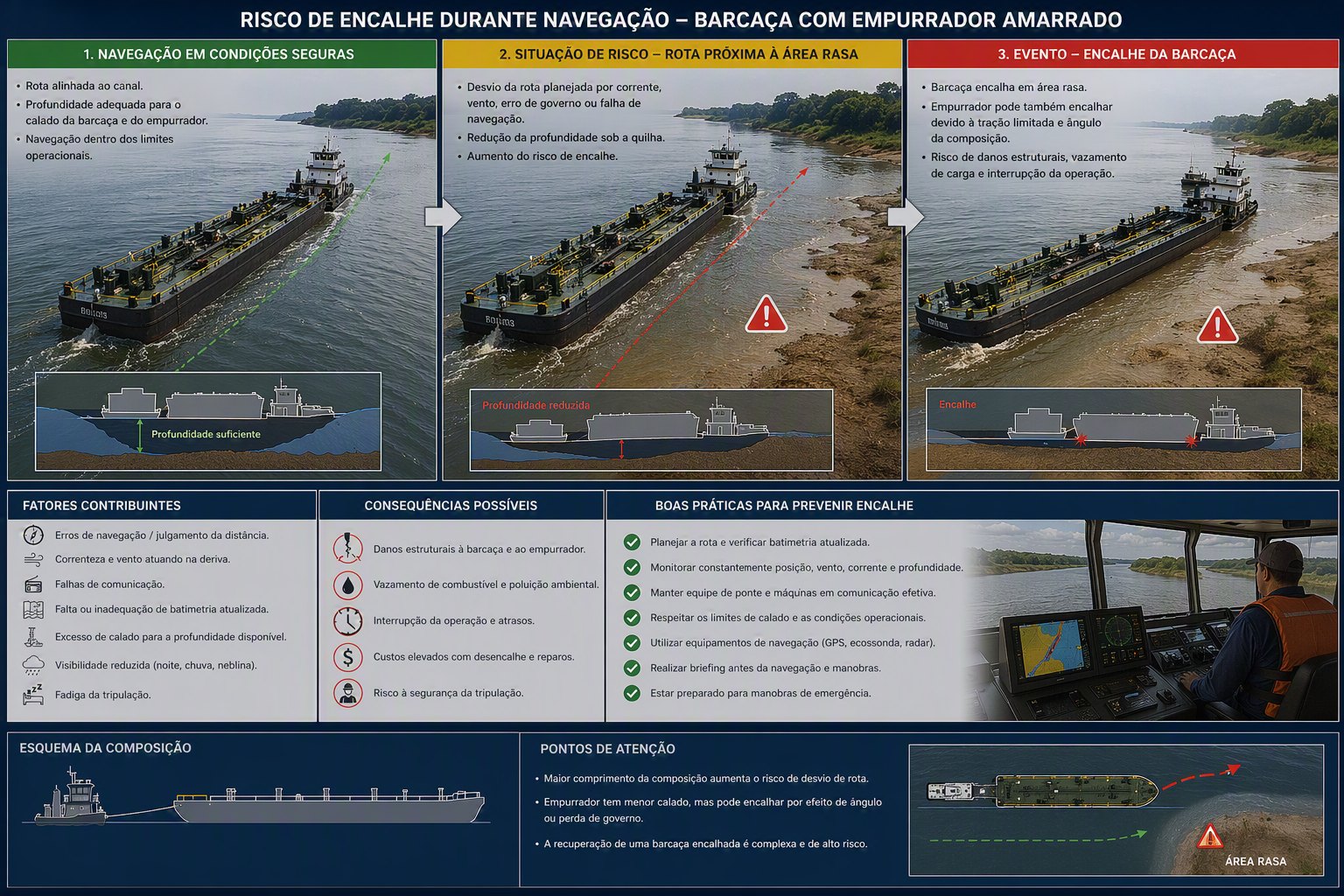
Hazard identification and risk matrix for navigation, berthing and cargo transfer operations, with illustrated safety cards for each scenario (grounding, collision, man overboard, fire and others), bringing together contributing factors, consequences and good practices.

Geophysical and geotechnical surveys

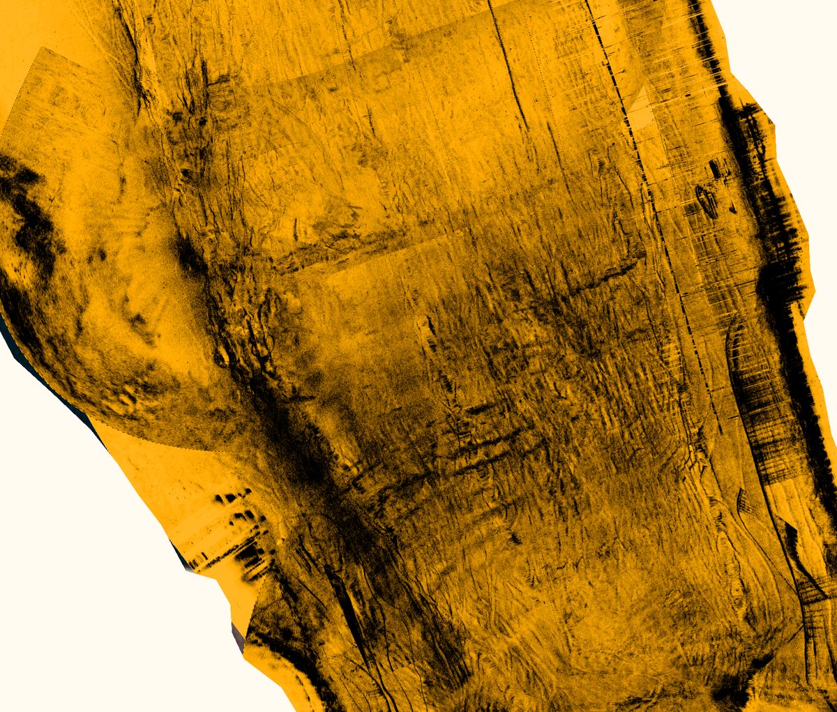
Bathymetric surveys, shallow seismics, side-scan sonar and boreholes to support dredging and rock removal designs. Over 1 million m³ in dredging designs and supervision.

Field campaigns for environmental licensing

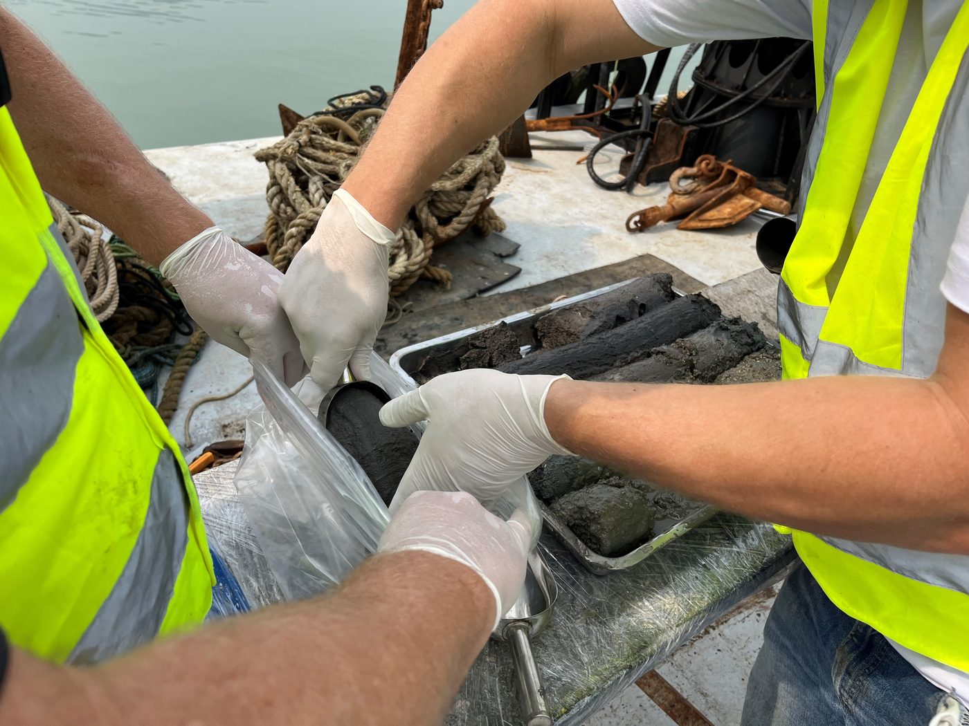
Vibracore sampling, surface sediment sampling, collection and analysis of water and aquatic biota, and sand borrow area mapping, integrated with water quality and plume modeling.

Extreme-event wave modeling

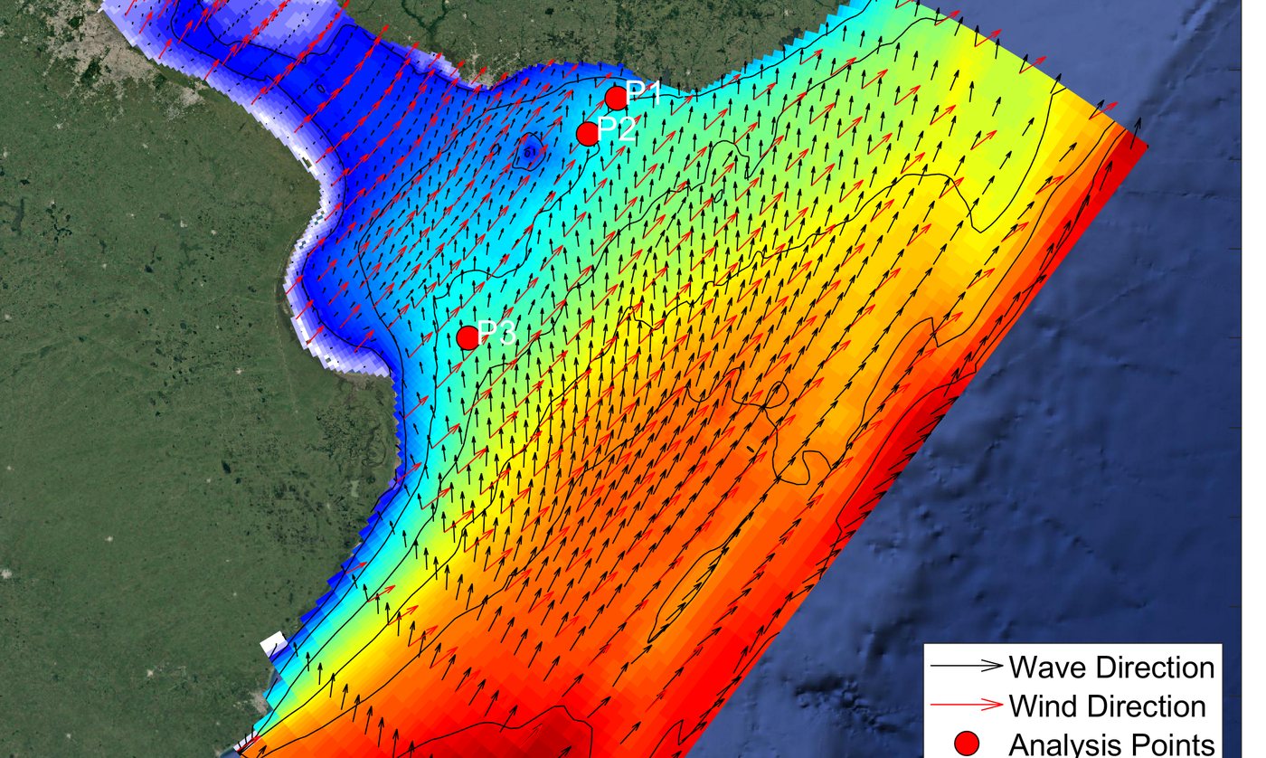
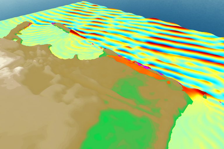
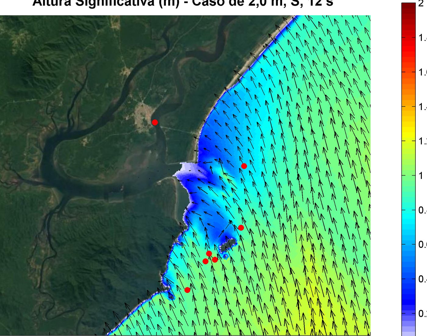
Generation and propagation of hurricane waves, analysis of flooding and maximum wave run-up levels to support the design of coastal structures, and harbour agitation at a cruise ship terminal.

Anchoring system for river convoys

Detailed design of a buoy anchoring system, dynamic mooring of convoys, manoeuvring simulations, risk analysis study and risk management plan.

Manoeuvring, sedimentation and fluid mud in an access channel

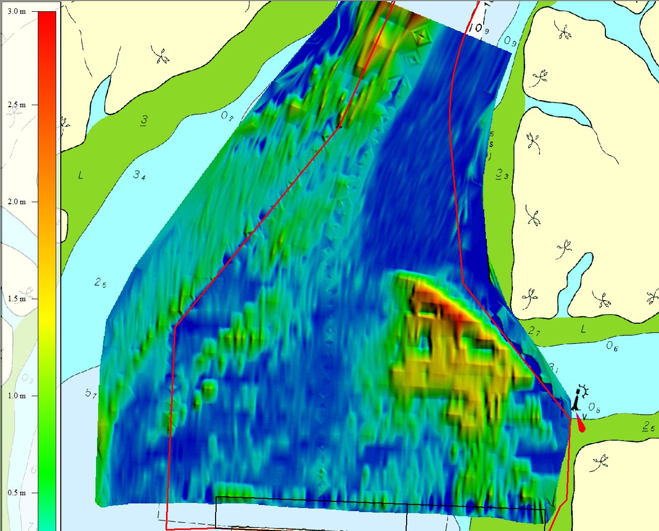
Studies for the dredging design of an access channel and berths: ship manoeuvring simulations using the currents from the calibrated hydrodynamic model, morphodynamic modeling of sedimentation rates, and analysis of dual-frequency bathymetry and density surveys to map fluid mud thickness and define the nautical bottom.

Flood study for an industrial site

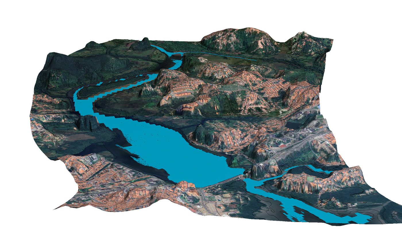
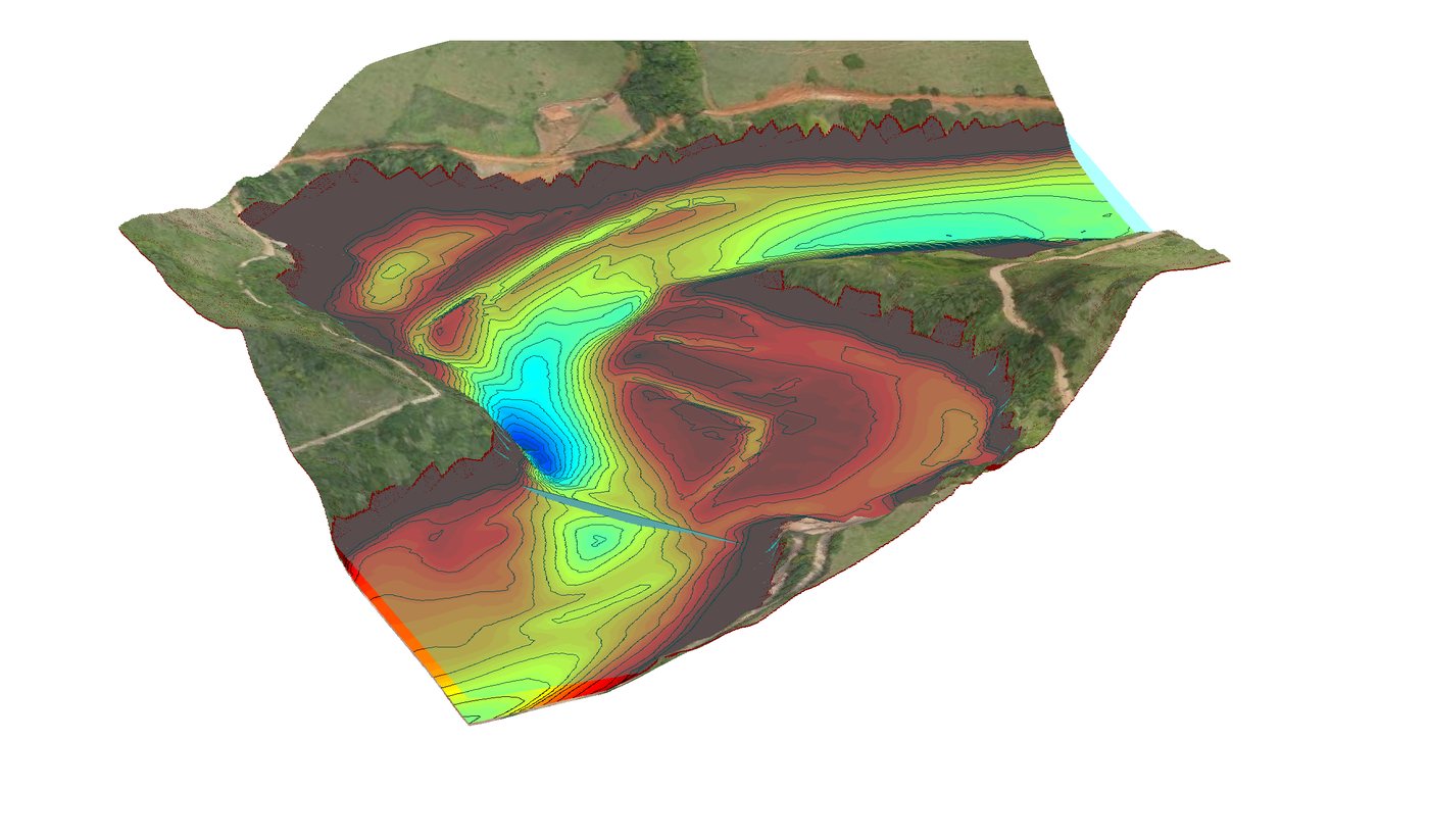
Coordination of field surveys, hydrological modeling, reservoir hydrodynamics and channel hydraulics, and a study of engineering alternatives to reduce flooding.

Oil spill dispersion modeling

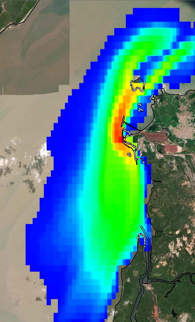
Hydrodynamic modeling and probabilistic oil spill simulations under different seasonal conditions, with oil presence probability maps to support environmental licensing and emergency response plans.

Conceptual design of coastal structures

Hydrodynamic and morphodynamic modeling, analysis of the equilibrium shoreline shape and conceptual design of protection structures for a pier and marina.

Impact assessment of new port structures

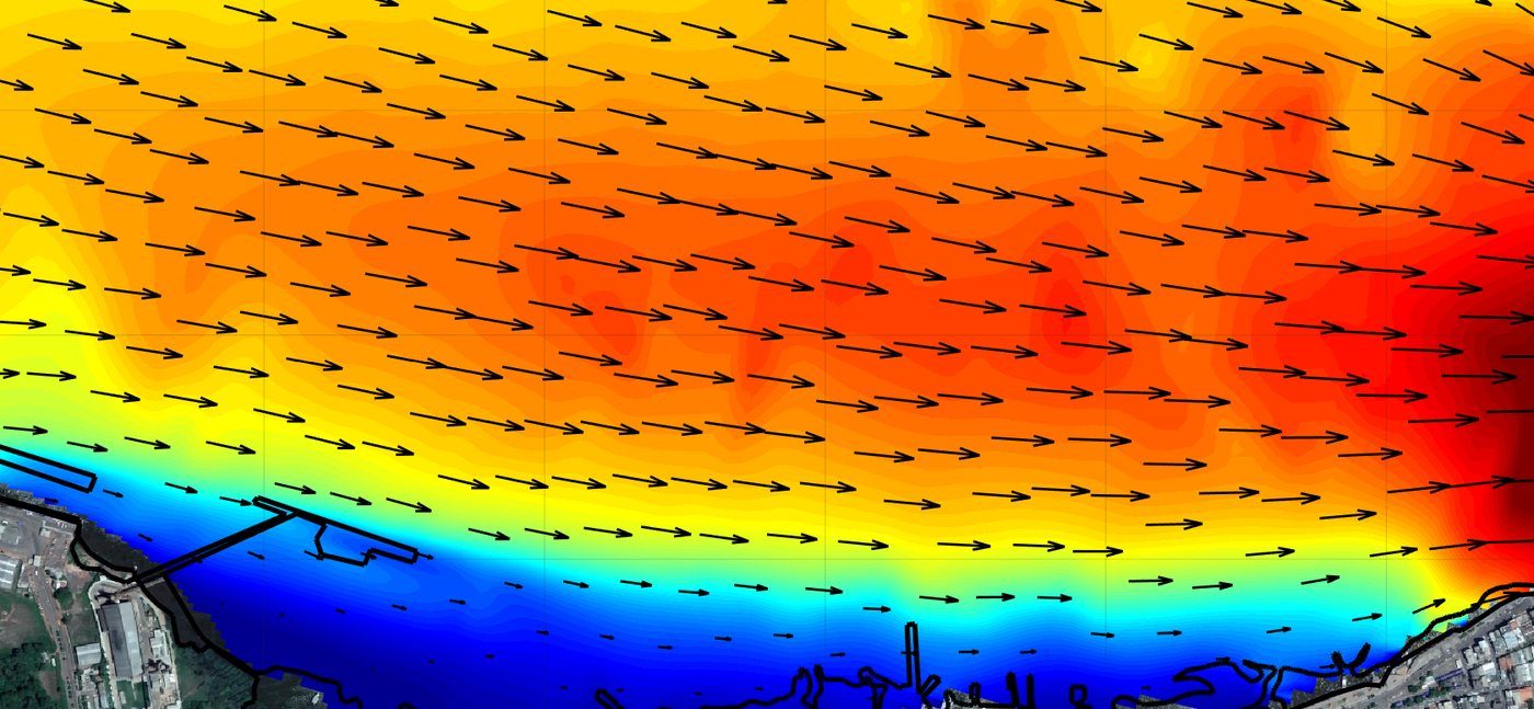
Hydrodynamic and morphodynamic modeling comparing the present scenario with a new pier and berthed ships, with maps of changes in currents and bed levels.

Sand borrow area search for beach nourishment

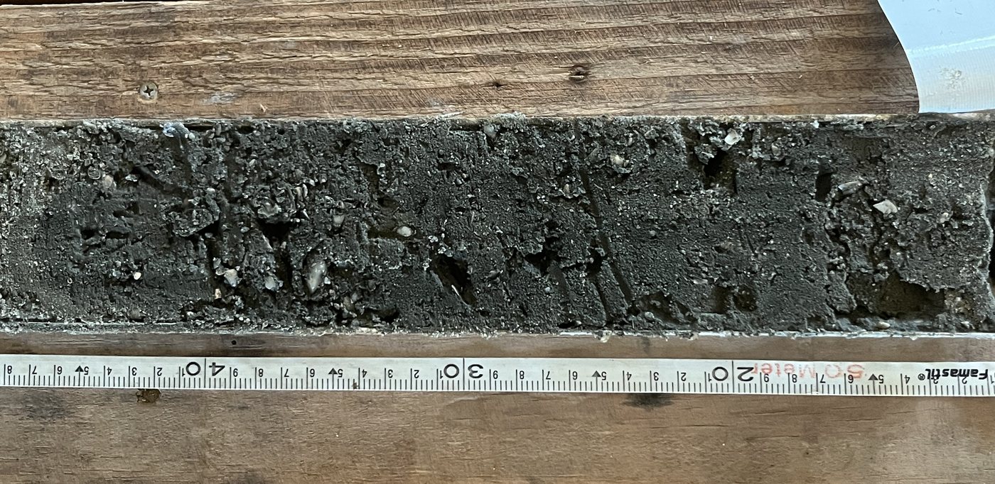
Geophysical surveys, vibracore sampling and stratigraphic description of the cores to characterize the quality and volume of sand available in an offshore borrow area.

Rock head mapping for rock removal

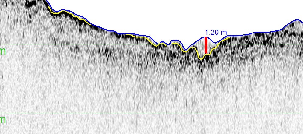
Shallow seismic profiling to map sediment thickness and rock head, the basis for volume calculations and the dredging and rock removal design.

Modeling for environmental licensing of an LNG terminal

Hydrodynamic, wave and morphodynamic modeling, with sediment transport maps, for the impact assessment and environmental licensing of a new terminal.

Dredging design and supervision at a terminal

Basic and detailed dredging and rock removal design, works supervision, calculation of dredged volumes and over-water boreholes from a floating platform.

Impact of a bridge on hydrodynamics and the bed

Modeling of currents and bed evolution over five years, comparing the present scenario with the scenario including the piers of the new bridge.

Sedimentation and draught in access channels

Wave climate, morphodynamic modeling of channel sedimentation and a probabilistic grounding study to define dredging depths and operational draughts.

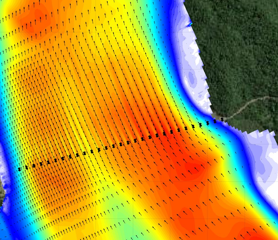
River hydrodynamics for a grain terminal

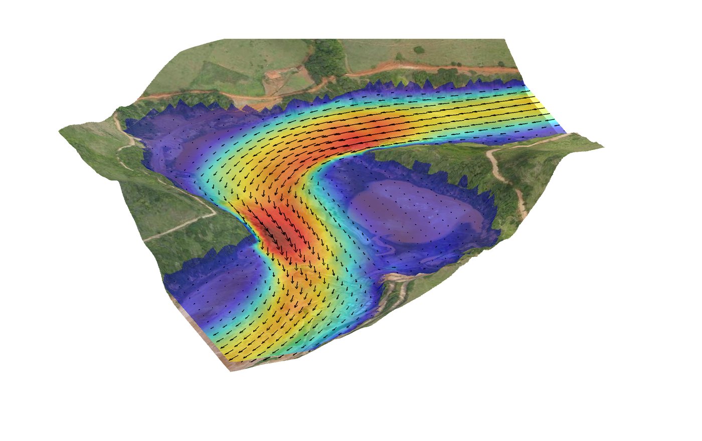
Modeling of currents throughout the hydrological cycle of a large river to support the design of the anchoring system, mooring studies and manoeuvres of convoys and ships.

Manoeuvring simulations of river convoys

Berthing and unberthing simulations of convoys at a barge terminal, in flood and dry season scenarios, analysing tracks, speeds, under-keel clearance and degree of difficulty.

Hydrographic and seismic survey of an access channel

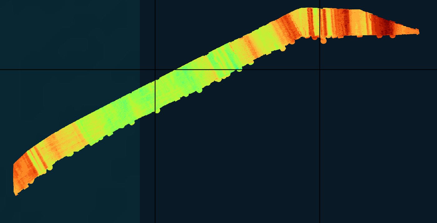
Dual-frequency bathymetry and seismic profiling campaign along tens of kilometres of channel, with maps of depth, reflectors and sediment thickness.

Drone survey and 3D model

Drone photogrammetric survey to generate the 3D model and digital terrain model of beaches and coastal structures, integrated with the bathymetry.

Wave climate and extreme design values

Reconstruction of decades of waves with spectral modeling, validation against field measurements and extreme value analysis to define design waves for coastal structures.

Waves for a terminal on an open coast

Hydrodynamic and wave modeling, from regional to local scale, for the implementation of a cargo transfer terminal on an exposed coast.

Hydrodynamic response of barge convoys

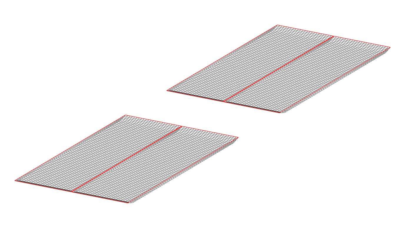
Panel model of the hulls to calculate convoy motions under wave action, the basis for dynamic mooring and downtime studies.

Companies and institutions that have trusted CoastalPort's work.

Clients

Shall we talk about your project?

Tell us about your challenge and we will find the most suitable solution.

Get in touch